News
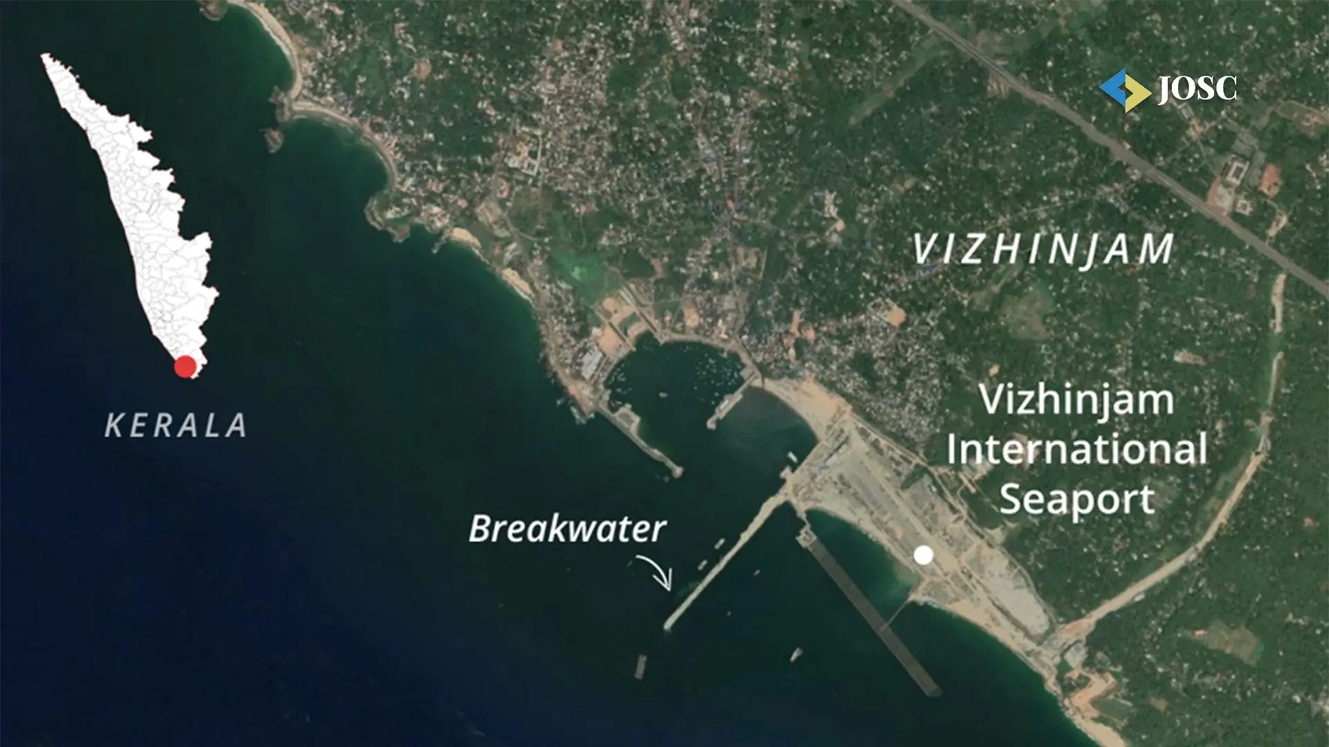
India’s coastline length revised to 11,098.81 km following new methodology
 Anamika Mishra,
Sub Editor
Anamika Mishra,
Sub Editor
Anamika Mishra,
Sub Editor
Anamika Mishra,
Sub Editor
India’s coastline has officially been recalculated at 11,098.81 km, marking an increase of 3,537.21 km—or nearly 50% from the previously accepted length of 7,561.60 km. The revision follows a change in the methodology used for measuring the coastline, according to a circular issued by the Union Ministry of Shipping on Tuesday.
Since the 1970s, the Ministry of Home Affairs had listed the coastline as 7,561 km. However, different government departments have historically cited varying figures, prompting a review in 2019. It was found that the Coastal Protection and Development Advisory Committee had been examining this issue since 2010.
Conference
Summit
Conference
Conference
Conference
The significant increase in coastline length is attributed to differences in map scale and measurement techniques. Earlier measurements were likely made using maps at a scale of 1:4,500,000 or smaller. The revised data, however, is based on a more detailed scale of 1:250,000, allowing for greater accuracy. The Shipping Ministry clarified that coastline length naturally varies depending on the scale of the maps used in calculation.
This updated measurement is expected to influence coastal planning, development, and disaster management strategies across India’s maritime zones.
Explore the latest edition of Journal of Supply Chain Magazine and be part of the JOSC News Bulletin.
Discover all our upcoming events and secure your tickets today.
Journal of Supply Chain is a Hansi Bakis Media brand.
Subscribe to our Daily Newsletter
Subscribe For FreeBy continuing you agree to our Privacy Policy & Terms & Conditions